
- Ayrıntılar
- Kategori: Haritalar
-
 By Anadolu Atlası
 - Görüntüleme: 50
17. Yüzyılın sonlarında çizilmiş bir Doğu Akdeniz Haritası. Kaynak: The Ronald and Pamela Walker Collection of Maps of Asia Minor https://digitised-collections.unimelb.edu.au/handle/11343/25


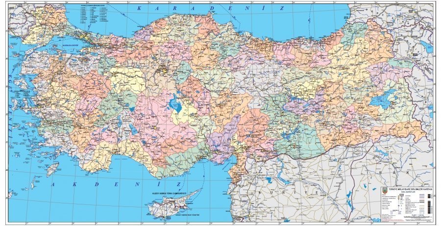
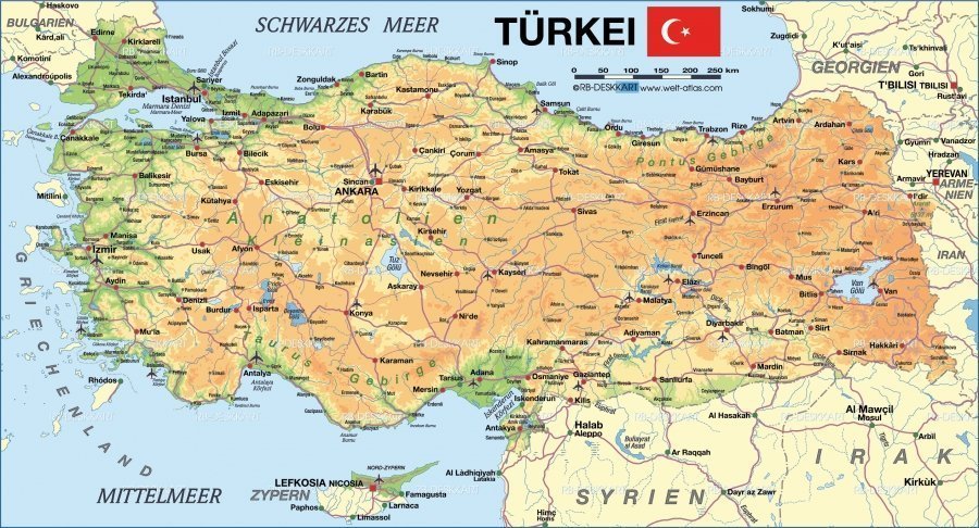
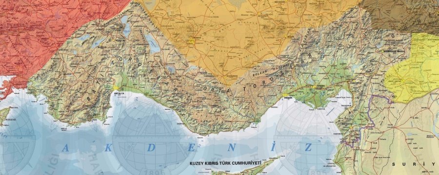
- Ayrıntılar
- Kategori: Haritalar
-
By Anadolu Atlası
- Görüntüleme: 48
Anatolia, also known as Asia Minor, is a large peninsula in West Asia and is the western-most extension of continental Asia. The land mass of Anatolia constitutes most of the territory of contemporary Turkey. Geographically, the Anatolian region is bounded by the Turkish Straits to the north-west, the Black Sea to the north, the Armenian Highlands to the east, the Mediterranean Sea to the south, and the Aegean Sea to the west. Topographically, the Sea of Marmara connects the Black Sea with the Aegean Sea through the Bosporus strait and the Dardanelles strait, and separates Anatolia from Thrace in the Balkan peninsula of Southeastern Europe.

Sayfa 2 / 2
Gündemde ne var?
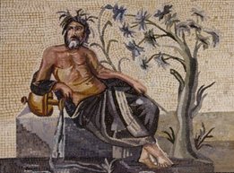
Antik Mozaikler
Anadolu coğrafyasının çeşitli bölgelerinde ortaya çıkartılmış mozaikleri inceleyerek yorumlarla katkıda bulunabilirsiniz.